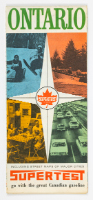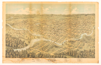
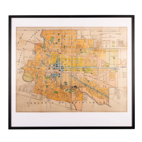
Map of City of London, May 1928
Date1928
DimensionsOverall: 33 x 41.9 cm
Credit LineGift of Harriet Westman, London, Ontario, 1962
Object number1962.097.016
Label TextThis map depicts the pre-1961 boundaries of London and the surrounding townships. In 1961 the city annexed some 34,000 acres from London and Westminster townships. In 1993, after fierce debate, London annexed a further 64,000 acres that included the airport and two major highways. On both occasions, the City of London argued it needed land for industrial, commercial, and residential growth. The townships viewed the annexations as land grabs.
NameMap